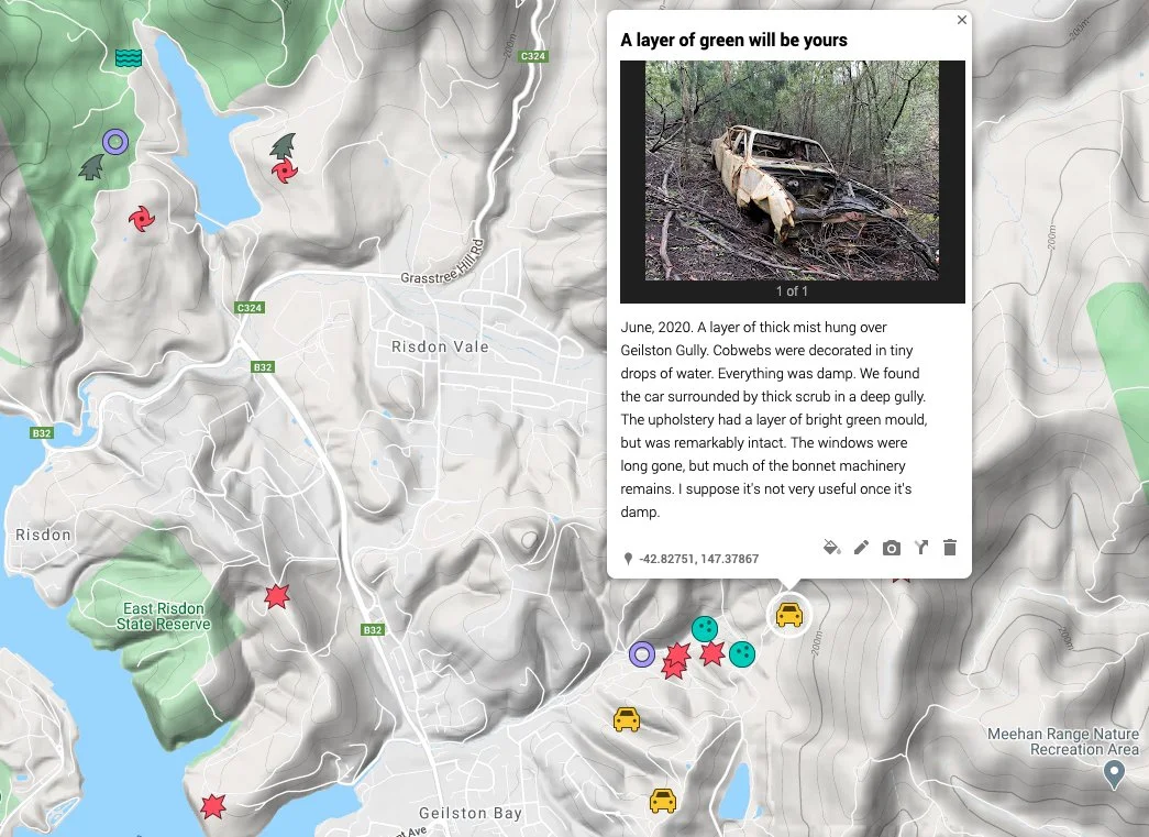
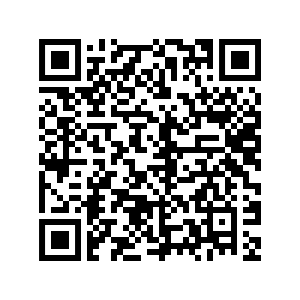
Created for The Suburbs Project, Rosny Barn, 2021 (delayed from 2020 due to Covid). Interactive map, presented in Google Earth in the gallery, and accompanied by a QR code allowing visitors to explore the ‘things’ out in the field using their smart phone.
Remarkable Unremarkable Things celebrates the unlikely.
2020 was the year when QR codes experienced a renaissance, where Tasmania’s borders closed and our focus turned to the local - to our parks, our mountains, our immediate communities. Bicycle shops experienced stock shortages, and outdoor stores sold out of trail runners. With our beloved mountain off-limits, we took to our urban parks and reserves with our increasingly exhausted dogs in tow. On walks around our reserves, I noted extraordinary rocks, burnt out cars, smouldering rubbish, rusted mounds of barbed wire fences, fairy glen-like wallaby grazing grounds – our landscape at a micro level, features normally ignored.
I had a fixed idea for The Suburbs Project two years ago: a pseudo-redevelopment proposal on the contested Rosny Hill. But things change. I mapped the circles of burnt grass atop the hill instead, circling each blackened shape and importing the squiggle of interconnected loops into online mapping software. 2020 was the year when location tracking became public policy, when people connected virtually, when ‘likes’ were more common than ‘hellos’, and when my artwork changed. In 2021, I invite you to walk intently and explore our backyard, our suburbs, virtually or in person. A QR code will take you to a map featuring things that are so commonplace, so unremarkable that they’re usually invisible. See them.
Screenshot of Remarkable Unremarkable Things (Clarence Council), 2020-21
Scan to access the map on your phone

